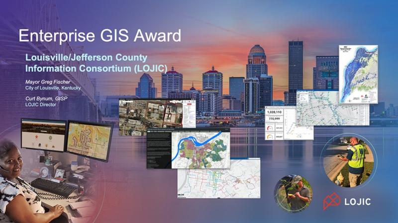
LOJIC (Louisville/Jefferson County Information Consortium) was named the 2021 winner of the Esri Enterprise GIS Award. LOJIC is recognized “for bringing together decision-makers to understand the interconnection of systems within their region and share data and applications across 1,300 spatial databases,” according to a July 14 Esri news release.
The four partners that comprise LOJIC—Louisville Metro Government, Louisville Water Company, Jefferson County Property Valuation Administrator and Louisville MSD—have leveraged GIS as a critical infrastructure supporting office applications, fieldwork, asset management, citizen engagement, emergency response, and fair and equitable property assessments.
In presenting the award at the 2021 Esri International User Conference, Esri founder/president, Jack Dangermond cited LOJIC’s 30-plus year history of collaboration and model interagency partnership, its vast collection of geospatial data, and rich collection of desktop and web applications that benefit our community.
https://www.youtube.com/watch?v=Zx4znf55Zuk
Louisville Mayor Greg Fischer, accepting the award on behalf of the agencies, said the LOJIC partnership and its many uses of GIS has changed how local business is conducted and improved services to local citizens. Fischer noted important recent uses of LOJIC such as monitoring and reporting activities related to the Covid-19 pandemic, advancing social equity in local planning and economic development, and providing citizens access to more information through the consortium’s growing Open Data Portal, interactive web maps and Story Maps.
Previous recipients of the Esri Enterprise GIS Award include:
Saudi Aramco
Qatar Centre for GIS
Singapore Geospatial Collaborative Environment
Hong Kong Lands Department
Royal Dutch Shell
Irish Water
National Geospatial Intelligence Agency
Washington D.C. GIS
Congratulations to all LOJIC partners, LOJIC technical team, and our entire user community on this prestigious acknowledgment..


