

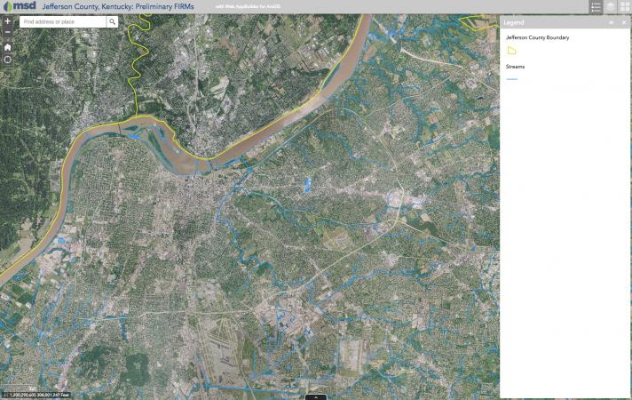
MSD is holding a series of open house meetings to discuss changes to existing floodplain maps by the Federal Emergency Management Agency (FEMA), which may affect your property’s floodplain status. Changes to the maps may affect your property’s flood status.
To view the changes to the floodplain maps please go to https://bit.ly/2QcnErm or attend one of the Open House Meetings:
Tuesday, January 15
4:30-7:30 p.m.
Jefferson County East Government Center
200 Juneau Drive
Louisville, KY 4024
Wednesday, January 16
4:30-7:30 p.m.
Jefferson County Government Center
7201 Outer Loop #129
Louisville, KY 40228
Thursday, January 17
4:30-7:30 p.m.
Southwest Government Center
7219 Dixie Highway
Louisville, KY 40258
Representatives from the Division of Water and Louisville MSD will be available to speak one-on-one with you. The Kentucky Association of Professional Surveyors and insurance agents have been invited to answer questions related to elevation certificates and flood insurance.
Louisville Metro has a long history of flooding from the Ohio River and its many tributaries. Approximately 15 percent of Louisville Metro is in a floodplain and threatened by frequent flooding, which includes about 8,000 homes and businesses.