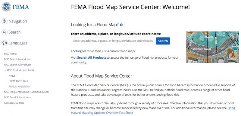
Portions of the Louisville-Jefferson County flood maps have recently been updated. These updates impact approximately 2,800 properties. To see if a property will be in the new flood hazard area, check the map at https://bit.ly/2J2TW9G or email matt.schaaf@louisvillemsd.org with the address of the property in question.
A community or property owner can appeal proposed changes to the flood hazard or comment on the information included on the flood maps, also known as the Flood Insurance Rate Maps (FIRMS), and in the preliminary Flood Insurance Study (FIS) report. Appeals and comments are subject to the requirements listed in FEMA’s Appeals and Comments (https://bit.ly/2UpN9Io) documentation. Appeals and comments must be received by MSD by May 16, 2019, to be considered by FEMA. To submit an appeal or comment, please send an email to matt.schaaf@louisvillemsd.org or mail information to Louisville MSD, 700 W Liberty St, Louisville, KY 40203, Attn: Matt Schaaf.
An appeal must be based on data and documentation showing the proposed flood hazard information shown on the preliminary FIRM or in the FIS report is scientifically or technically incorrect. Appellants need to demonstrate better methodologies, assumptions or data exists and provide alternative analyses that incorporate those methodologies, assumptions, or data if appropriate. The results must show an overall change in the flood hazard information shown on the preliminary FIRM and/or in the FIS report. For specific requirements for the types of data required, see FEMA’s Appeals and Comments at https://bit.ly/2UpN9Io.


